
Country United States County Clay Time zone EST (UTC-5:00) Elevation 199 m Population 953 (2000) Area code 812 | State Indiana FIPS code 18-06832 Zip code 47833 Local time Friday 6:55 AM | |
 | ||
Weather -4°C, Wind NW at 16 km/h, 71% Humidity | ||
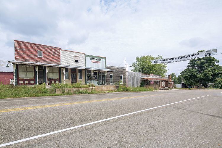
Bowling Green is an unincorporated community in Washington Township, Clay County, Indiana. It is part of the Terre Haute Metropolitan Statistical Area.
Contents
Map of Bowling Green, IN 47833, USA
History
The first post office was established at Bowling Green in 1825. Bowling Green was incorporated as a town in 1869. According to one source, it was probably named after Bowling Green, Virginia.
Geography
Bowling Green is located at 39°22′59″N 87°00′42″W.
Climate
Climate is characterized by relatively high temperatures and evenly distributed precipitation throughout the year. The Köppen Climate Classification subtype for this climate is "Cfa". (Humid Subtropical Climate).
References
Bowling Green, Indiana Wikipedia(Text) CC BY-SA