
Existed: 1964 – present Length 127.5 km | Constructed 1964 | |
 | ||
Counties Yakima County, Washington | ||
State Route 24 (SR 24) is a 79.23-mile (127.51 km) long state highway in the U.S. state of Washington. Beginning at an interchange with Interstate 82 (I-82) in Yakima, the highway travels east into the Yakima highlands before turning north at the Hanford Site to cross the Columbia River on the Vernita Bridge. From the crossing, the highway travels east through the Hanford Reach National Monument and turns north to end at SR 26 in Othello. The highway was known as Secondary State Highway 11A (SSH 11A) from 1937 to 1964 and was originally routed through the Hanford Site until the 1940s. The Vernita Bridge was completed in 1965 along with the route to Othello north of the Hanford Reach and paved in the 1970s.
Contents
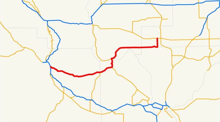
Map of WA-24, Washington, USA
Route description
State Route 24 (SR 24) begins as Nob Hill Boulevard at a diamond interchange with Interstate 82 (I-82), concurrent with U.S. Route 12 (US 12) and U.S. Route 97 (US 97), in Yakima. The highway turns southeast to cross the Yakima River and travelling into unincorporated Yakima County, parallel to a short BNSF Railway line. SR 24 continues into Moxee, where the rail line ends, and turns east into Black Rock Valley, situated between the Yakima Ridge to the north and the Rattlesnake Hills to the south. The roadway forms the northern terminus of SR 241, a highway that travels south to Sunnyside, before entering Benton County and the Hanford Reach National Monument. At the western boundary of the Hanford Site, SR 24 turns north at the northern terminus of SR 240, which travels south to Richland. The highway passes a rest area and crosses the Columbia River on the Vernita Bridge into Grant County, turning east at the southern terminus of SR 243. The roadway travels east through the Saddle Mountain National Wildlife Refuge and passes Saddle Mountain Lake before entering Adams County. SR 24 turns north and becomes Broadway Avenue in Othello, where the route ends at an intersection with SR 26.
Every year the Washington State Department of Transportation (WSDOT) conducts a series of surveys on its highways in the state to measure traffic volume. This is expressed in terms of average annual daily traffic (AADT), which is a measure of traffic volume for any average day of the year. In 2011, WSDOT calculated that between 980 and 21,000 vehicles per day used the highway, mostly in the Yakima area.
History
A two-laned, paved road that extended southwest from Othello, parallel to the Chicago, Milwaukee, St. Paul and Pacific Railroad, first appeared on a 1922 United States Geological Survey map of Othello. A similar road extending from Yakima to Moxee along a Northern Pacific Railway line first appeared on a 1938 map of East Yakima. Both roads became segments of Secondary State Highway–11A (SSH 11A) during the 1937 establishment of the Primary and secondary state highways, extending from U.S. Route 410 (US 410), later U.S. Route 12 (US 12), to Primary State Highway 11 (PSH 11). The road from Yakima to Moxee was extended into Black Rock Canyon to the Hanford Reach until it was closed off during World War II. SSH 11A became State Route 24 (SR 24) in the 1964 highway renumbering and was realigned north of the Hanford Site by 1967, but remained un-built in several areas until the 1970s. The Vernita Bridge over the Columbia River began construction in October 1964 and was completed the following September, being tolled for several years after to pay for the bridge. Since the completion of the Vernita Bridge and the road to Othello, no major revisions to the route have occurred.