
Existed: 1964 – present Length 66.53 km | Constructed 1964 | |
 | ||
West end: SR 24 near the Hanford Reservation West end SR 24 near the Hanford Reservation | ||
State Route 240 is a busy state highway servicing the Tri-Cities of Washington and the Hanford Site.
Contents
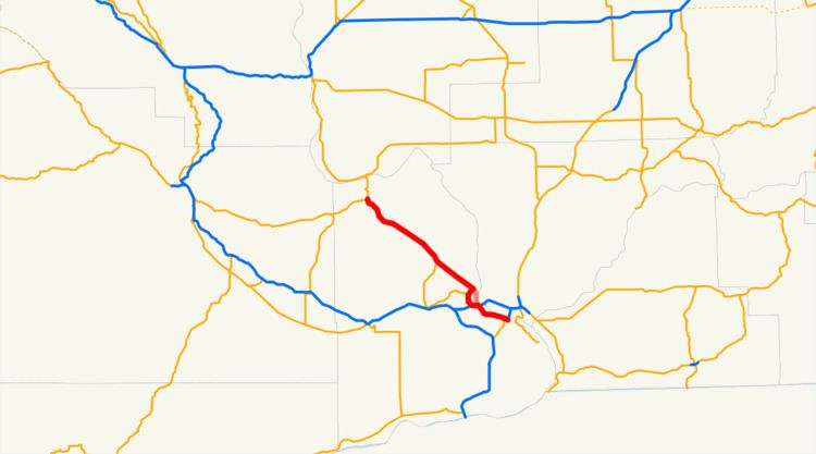
Map of WA-240, Washington, USA
Route description
Its eastern end begins at the southern end of the Blue Bridge in central Kennewick as an offshoot of U.S. Route 395. It continues as a freeway through northern Kennewick just south of the Columbia River—passing near the Columbia Center Mall on the way—all the way up to Richland, where it effectively enters into town as the heavily-traveled George Washington Way at the interchange with Interstate 182. However, it is possible to continue on the highway (though it is no longer a freeway after the Interstate 182 interchange) by taking an exit and traveling around the west side of town—the highway is known for that stretch of land as the "Bypass Highway". This name, given when the highway actually avoided most of the rush-hour gridlock and constant stoplights of George Washington Way, is somewhat ironic nowadays as the six stoplights on this section of the highway impede drivers just as the traffic-laden main street has for decades.
In any case, after traveling north for roughly five miles, the road itself continues northward as Stevens Drive, but the highway itself goes on as an offshoot, this time heading to the northwest. The highway enters the Hanford Nuclear Reservation and goes on for dozens of miles. Eventually, it ends in State Route 24. Going north onto Highway 24 leads to Interstate 90 and George, Washington; going west instead leads to Yakima, Washington.
SR 240 has two bike paths that run adjacent to it in Richland. The Sacagawea Heritage Trail parallels it from Columbia Park Trail to I-182, and another runs parallel to it from I-182 to Stevens Drive, where it continues north to Hanford.
History
Before Interstate 182 was built, SR 240 was known as US 12 from Columbia Park Trail to its junction with today's US 395 where US 12 continued across the Blue Bridge to Pasco. Even before this, the same portion was known as US 410 before US 12 was expanded from Lewiston to Aberdeen in 1967. Before the freeway was built in on the north side of Kennewick, US 410 and later US 12 followed Columbia Park Trail to the Green Bridge east of Downtown Kennewick (today's SR 397).
Due to the heavy traffic pressed upon the highway during rush hour, the road underwent significant construction from the Columbia Center Boulevard exit in Kennewick all the way up through the first mile or so of George Washington Way. This included demolition of the fifty-year-old four-lane bridge that spanned the Yakima River, where in its place two four-lane bridges were constructed. A more controversial change came at the eastbound exit to Columbia Park Trail, where a two-lane roundabout intersection—which connects the exit, Columbia Park Trail and Steptoe Avenue—was constructed. The work was completed in early June 2007, several months ahead of schedule.
Major intersections
The entire route is in Benton County.
Business route
State Route 240 Business (SR 240 Bus.) is a business route within the city of Richland. Starting from the south, northbound SR 240 Bus follows George Washington Way from an interchange with I-182/US 12/SR 240, north to McMurray Street. It then turns to follow McMurray Street to Jadwin Avenue. It then turns onto Jadwin Avenue and stays on this path before terminating at an intersection with SR 240 and Stevens Drive. Southbound SR 240 starts at the SR 240/Stevens Drive intersection and follows Jadwin Avenue south to George Washington Way. The route then turns to continue on this path before terminating at the I-1802/US 12/SR 240 interchange.