
 | ||
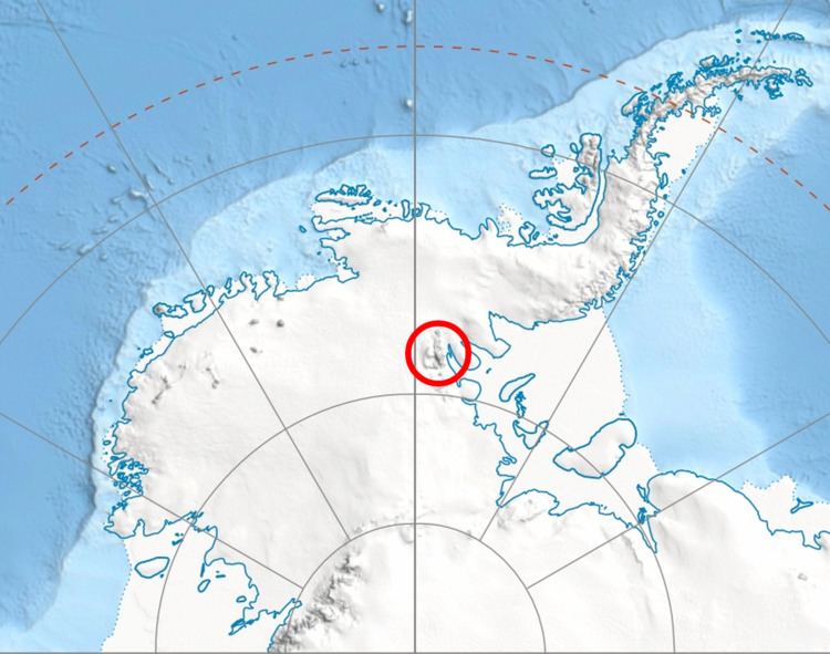
Vinson Plateau (Bulgarian: плато Винсън [ˈplato ˈvinsən]) is the summit plateau of Vinson Massif, Sentinel Range in Ellsworth Mountains, Antarctica. It extends for 9 km between Goodge Col and Hammer Col linking it to the north-central part of Sentinel Range to the north-northwest and to Craddock Massif to the south-southeast respectively, and 4.5 km wide between Branscomb Peak and Silverstein Peak to the west and Schoening Peak and Marts Peak to the east. Elevation from 4000 m to 4600 m above sea level. Rising from the plateau is the summit of Antarctica Mount Vinson (4892 m), and several other peaks higher than 4700 m, albeit of modest prominence: Clinch Peak (4841 m), Corbet Peak (4822 m), Silverstein Peak (4790 m), Schoening Peak (4743 m) and Hollister Peak (4729 m). The lower peaks of Fukushima (4634 m) and Opalchenie (4500 m) stand at the south extremity of the plateau. Its central part is drained by Roché Glacier and a tributary glacier in Jacobsen Valley, with both of them joining Branscomb Glacier.
Contents
Map of Vinson Plateau, Antarctica
The plateau takes its name from Vinson Massif, honouring the US statesman Carl Vinson (1883-1981).
Location
Vinson Plateau is centred at 78°32′00″S 85°35′00″W. US mapping in 1961, 1988 and 2007.