
 | ||
People also search for Schoening Peak, Marts Peak, Corbet Peak | ||
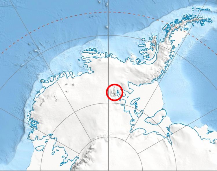
Clinch Peak is a 4,841 metres (15,883 ft) high, elongated peak, in the central part of the ice-covered Vinson Plateau in the Sentinel Range of the Ellsworth Mountains, Antarctica. It surmounts Roché Glacier to the west.
Contents
Map of Clinch Peak, Antarctica
The peak was named by US-ACAN in 2006 after Nicholas Bayard Clinch, leader of the 1966–67 American Antarctic Mountaineering Expedition that made the first ascent of Mount Vinson, the summit of Antarctica, and other high mountains in the Sentinel Range.
Location
Clinch Peak is located at 78°32′08″S 85°30′45″W, which is 1.6 miles (2.6 km) southeast of Mount Vinson, 0.88 miles (1.42 km) southwest of Schoening Peak, 1.54 miles (2.48 km) west of Marts Peak and 2.4 miles (3.9 km) north-northeast of Opalchenie Peak. US mapping in 1961, updated in 1988.