
 | ||
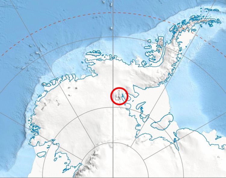
Branscomb Peak is a small snowy prominence of elevation 4,520 metres (14,830 ft), the highest point of the ridge that forms the top of the main west face of Vinson Massif in the Sentinel Range of the Ellsworth Mountains, Antarctica. It overlooks Jacobsen Valley to the northeast, Goodge Col to the north-northeast, the upper section of Branscomb Glacier to the west, and Roché Glacier to the south.
Contents
Map of Branscomb Peak, Antarctica
The peak was named by US-ACAN in 2006 in association with adjacent Branscomb Glacier.
Location
Branscomb Peak is located at 78°30′57″S 85°41′44″W, which is 1.27 miles (2.04 km) northwest of Mount Vinson, 2.29 miles (3.69 km) north-northwest of Silverstein Peak, 3.68 miles (5.92 km) east-southeast of Knutzen Peak and 3.74 miles (6.02 km) south of Mount Shinn. US mapping in 1961, updated in 1988.