
Length 500 km | - elevation 1,090 ft (332 m) - elevation 489 ft (149 m) Source Madison | |
 | ||
- average 4,644 cu ft/s (132 m/s) | ||
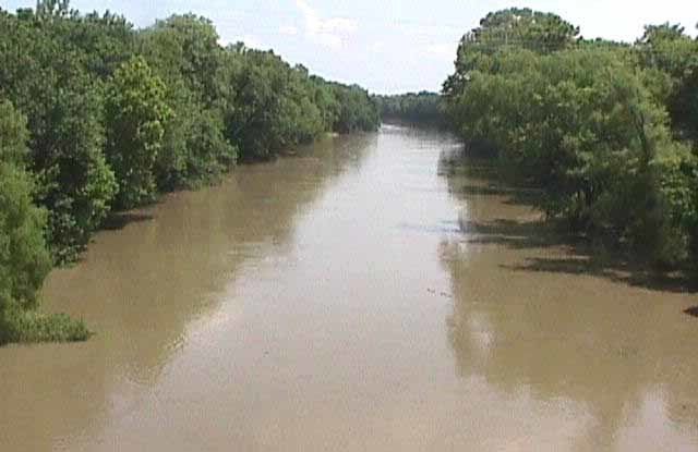
Man vs catfish verdigris river ok 247 outdoor addiction
The Verdigris River /ˈvɜːrdᵻɡrɪs/ is a tributary of the Arkansas River in southeastern Kansas and northeastern Oklahoma in the United States. It is about 310 miles (500 km) long. Via the Arkansas, it is part of the Mississippi River watershed.
Contents
- Man vs catfish verdigris river ok 247 outdoor addiction
- Map of Verdigris River Oklahoma USA
- CourseEdit
- HistoryEdit
- Dams and transportationEdit
- TributariesEdit
- Cities and towns along the riverEdit
- References
Map of Verdigris River, Oklahoma, USA
CourseEdit
The Verdigris is formed near Madison, Kansas, by the convergence of two short headwaters streams, its North and South forks, and flows generally southward throughout its course. South of Coffeyville, Kansas, the river enters Oklahoma. It joins the Arkansas River near Muskogee, Oklahoma, about a mile upstream of the mouth of the Neosho River. The area of convergence of the three rivers Arkansas, Verdigris and Neosho is called "Three Forks".
HistoryEdit
The river is mentioned in accounts by Zebulon Pike (1806), Thomas Nuttall (1818). Fur traders had numerous posts along its route where they met with Native Americans to exchange goods for furs. The river is also mentioned in the novel Little House on the Prairie (1935) by Laura Ingalls Wilder, of her memories when her family moved to Kansas from Wisconsin.
The name is derived from the Spanish words verde, meaning "green," and gris, meaning "grey." According to the Encyclopædia Britannica, the name may be derived from a gray-green substance resembling a copper ore, which tinged the water. In the US treaty of 1834 with the Cherokee Indians, the river was named as a part of the boundary of their lands in the Indian Territory.
In July 2007, Coffeyville Resources suffered flooding at its refinery at Coffeyville by the Verdigris River, causing a spill of about 1,700 barrels of crude oil. The company made efforts to ameliorate the damage.
Dams and transportationEdit
Several dams built by the U.S. Army Corps of Engineers cause the Verdigris to form Toronto Lake near Toronto, Kansas and Oologah Lake near Oologah, Oklahoma. More dams and reservoirs are downstream along the Arkansas River.
From just north of Catoosa, Oklahoma to the river's confluence with the Arkansas, barge traffic is supported on the river via the McClellan-Kerr Navigation System. This consists of a series of locks and dams on the Arkansas and the Verdigris rivers; this system enables commercial navigation between the Tulsa, Oklahoma, area and the Mississippi River, and thence to the Gulf of Mexico.
TributariesEdit
In Kansas, the Verdigris collects the Fall River at the town of Neodesha and the Elk River at the town of Independence. In Oklahoma it collects the Caney River in Rogers County.