
County Clay ZIP code 47834 Elevation 204 m | State Indiana FIPS code 18-04852 Local time Friday 7:32 AM | |
 | ||
Weather -4°C, Wind NW at 14 km/h, 70% Humidity | ||
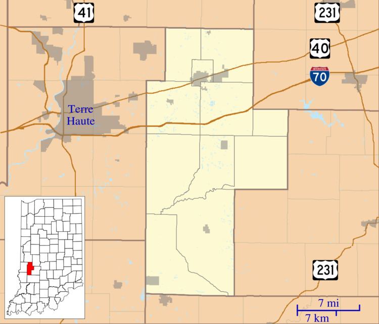
Benwood is an unincorporated community in Van Buren Township, Clay County, Indiana, United States. It is part of the Terre Haute Metropolitan Statistical Area.
Contents
Map of Benwood, IN 47834, USA
History
A post office was established at Benwood in 1881, and remained in operation until it was discontinued in 1882. Benwood was likely named in honor of Ben Davis, a railroad official.
Mining was the originally the primary industry of Benwood.
Geography
Benwood is located at 39°33′40″N 87°06′51″W.
References
Benwood, Indiana Wikipedia(Text) CC BY-SA