
County Clay FIPS code 18-10234 Elevation 208 m Local time Thursday 9:27 PM | State Indiana GNIS feature ID 432127 Zip code 47834 | |
 | ||
Weather 1°C, Wind NW at 13 km/h, 67% Humidity | ||
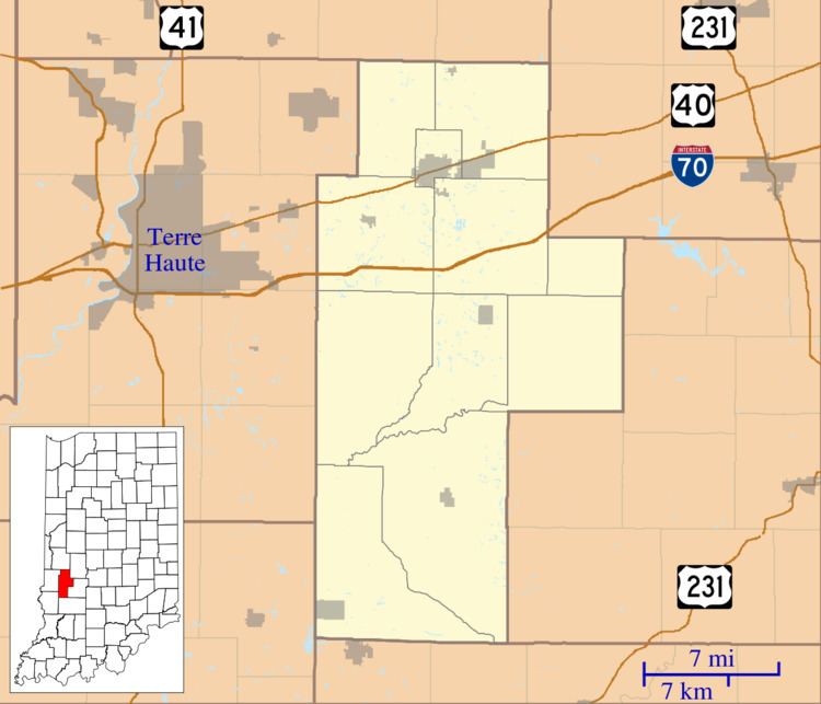
Cardonia is an unincorporated community in Van Buren Township, Clay County, Indiana. It is part of the Terre Haute Metropolitan Statistical Area.
Contents
Map of Cardonia, IN 47834, USA
History
Cardonia was founded in the year 1871 as a coal mining town. It was named for John F. Card, a mining official. A post office was established in Cardonia in 1879, and remained in operation until it was discontinued in 1909.
Geography
Cardonia is located at 39°33′42″N 87°06′28″W.
References
Cardonia, Indiana Wikipedia(Text) CC BY-SA