
Peak Nagy-Csákány Area 314 km² | Elevation 487 m (1,598 ft) Type of rock dolomit | |
 | ||
County | ||
Recumbent bike riding in the v rtes hills
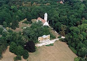
Vértes is a mountain range in north-western Hungary, in the Central Transdanubian region, between the ranges Bakony and Gerecse. The Vértes Mountains are part of the Transdanubian Mountains. Area of the Vértes occupies 314 km2. It is about 30 km long and 11c12 km wide. The average altitude is above sea level is 350 meters, in highest points are 487 m (Nagy-Csákány), 480 m (Körtvélyes) and 479 m (Csóka-hegy). Geologically the Vértes constitute a fairlyuniform structure. On the surface of the eptire mountain there are no older rocks than those of the mid-Triassic. The main rock is dolomite—CaMg(CO3)2—from the upper Triassic. All the layers are ancient marine deposits.
Contents
The Vértes possesses a well-developed valley network (1260 km), but in spite of this spring and rivers are very rare in the mountain. Yearly sunshine duration is around 1950–2000 hours. The average annual temperature above the height of 350 meters is 8.5 C (in January −3 C). The average annual precipitation is between 600 and 700 millimeters. In winter the land is usually snow covered.
According to a legend documented in mediaeval Hungarian chronicles, the Vértes mountains were named after a historical incident: during the unsuccessful campaign of 1051–1052, the withdrawing German troops of Henry III, emperor of the Holy Roman Empire, scattered their armours to ease their escape through the mountains; hence the name Vértes (cf. vért, Hungarian for armour).