
 | ||
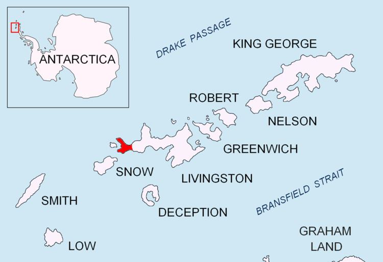
Rish Point (Bulgarian: нос Риш, ‘Nos Rish’ \'nos 'rish) is an ice-free point projecting 300 m from the south coast of Livingston Island in the South Shetland Islands, Antarctica. Situated at the east extremity of South Beaches, Byers Peninsula, 2.3 km northwest of Amadok Point, 1.3 km southwest of Clark Nunatak, and 1 km northeast of Stackpole Rocks.
Contents
The point is named after the settlement of Rish in the eastern Balkan Mountains, Bulgaria.
Location
Rish Point is located at 62°40′21″S 60°55′55″W. British mapping in 1968, Spanish in 1993, and Bulgarian in 2005 and 2009.
Map
References
Rish Point Wikipedia(Text) CC BY-SA