
 | ||
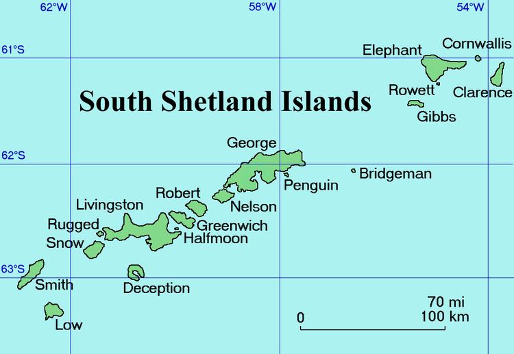
Urda Ridge (Bulgarian: Урдин хребет, ‘Urdin Hrebet’ \'ur-din 'hre-bet) is the mostly ice-covered ridge occupying the interior of southern Clarence Island in the South Shetland Islands, Antarctica. It extends 8 km in north-northeast to south-southwest direction and 9 km in west-northwest to east-southeast direction, rising to 1950 m at the island’s summit Mount Irving, and is connected to Ravelin Ridge to the north by Soyka Saddle. The southeast slopes of the feature are drained by Dobrodan and Highton Glaciers, and its northwest slopes — by Skaplizo, Giridava and Bersame Glaciers. Urda is a Thracian place name from Southern Bulgaria.
Contents
Location
Urda Ridge is centred at 61°16′10″S 54°08′00″W. British mapping in 1972 and 2009.
Maps
References
Urda Ridge Wikipedia(Text) CC BY-SA