
 | ||
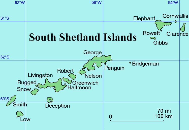
Soyka Saddle (Bulgarian: седловина Сойка, ‘Sedlovina Soyka’ se-dlo-vi-'na 'soy-ka) is the ice-covered saddle of elevation 1250 m connecting Ravelin Ridge and Urda Ridge on Clarence Island in the South Shetland Islands, Antarctica. It is situated between Mount Llana on the southwest and Jerez Peak on the north-northeast, and surmounts Highton Glacier to the east.
Contents
The saddle is named after the settlements of Soyka in Southern Bulgaria.
Location
Soyka Saddle is located at 61°14′24″S 54°06′45″W, which is 4.6 km east-northeast of Vaglen Point, 6.07 km south-southeast of Humble Point and 4.45 km west-northwest of Lebed Point. British mapping in 1972 and 2009.
Maps
References
Soyka Saddle Wikipedia(Text) CC BY-SA