Prominence 1,950 m (6,400 ft) Listing Ultra-prominent peak | Elevation 2,300 m | |
 | ||
Similar Bridgeman Island, Penguin Island, Deception Island | ||
Mount Irving is a mountain rising to ca. 1,950 metres (6,398 ft) that is the dominant elevation on Clarence Island, in the South Shetland Islands. (Some older sources used to give the elevation as 2,300 metres (7,546 ft).) The rounded, heavily glaciated mountain is situated in Urda Ridge occupying the southern part of the island. A prominent feature, the mountain doubtless was known to sealers in the area in the 1820s. It was named by United Kingdom Antarctic Place-Names Committee (UK-APC) for Rear Admiral Sir Edmund George Irving, Royal Navy, Hydrographer of the Navy, 1960-66. First ascent by a team comprising Capt. Crispin Agnew, John Hult and George Bruce of the Joint Services Expedition to Elephant Island on 6 December 1970.
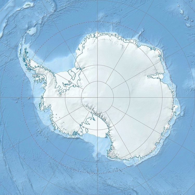
Map of Mount Irving, Antarctica
References
Mount Irving Wikipedia(Text) CC BY-SA
