
 | ||
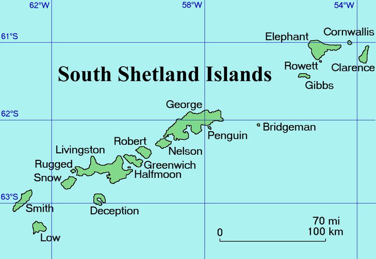
Dobrodan Glacier (Bulgarian: ледник Добродан, ‘Lednik Dobrodan’ \'led-nik do-bro-'dan) is the 3.4 km long and 1.2 km wide glacier on the east side of Urda Ridge on Clarence Island in the South Shetland Islands, Antarctica situated south of Highton Glacier. It drains the slopes of Mount Irving and Duclos-Guyot Bluff, flows northeastwards and enters the Southern Ocean south of Lebed Point.
Contents
The glacier is named after the settlement of Dobrodan in Northern Bulgaria.
Location
Dobrodan Glacier is centred at 61°16′15″S 54°04′20″W. British mapping in 1972 and 2009.
Maps
References
Dobrodan Glacier Wikipedia(Text) CC BY-SA