
Country United States GNIS feature ID 453915 Local time Friday 2:01 PM | FIPS code 18-77282 Elevation 239 m Population 1,397 (2010) | |
 | ||
Weather 6°C, Wind N at 18 km/h, 99% Humidity Area 106.1 km² (105 km² Land / 104 ha Water) | ||
Union Township is one of eight townships in Fulton County, Indiana. As of the 2010 census, its population was 1,397 and it contained 727 housing units.
Contents
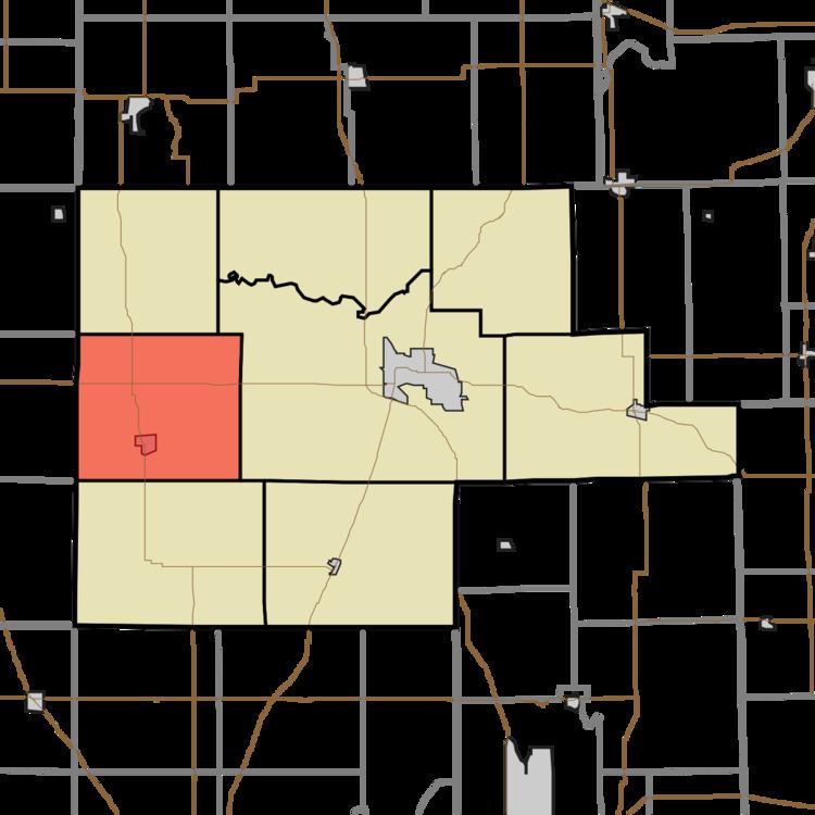
- Map of Union Township IN USA
- Geography
- Cities and towns
- Unincorporated towns
- Adjacent townships
- Major highways
- Cemeteries
- References
Map of Union Township, IN, USA
Geography
According to the 2010 census, the township has a total area of 40.96 square miles (106.1 km2), of which 40.55 square miles (105.0 km2) (or 99.00%) is land and 0.4 square miles (1.0 km2) (or 0.98%) is water.
Cities and towns
Unincorporated towns
(This list is based on USGS data and may include former settlements.)
Adjacent townships
Major highways
Cemeteries
The township contains four cemeteries: Barnett, Bruce Lake, Independent Order of Odd Fellows and Shaffer.
References
Union Township, Fulton County, Indiana Wikipedia(Text) CC BY-SA