
Country United States Elevation 283 m Local time Friday 2:02 PM | GNIS feature ID 0453917 Area 62.28 km² Population 1,856 (2010) | |
 | ||
Weather 7°C, Wind NW at 21 km/h, 91% Humidity | ||
Union Township is one of twelve townships in Hendricks County, Indiana, United States. As of the 2010 census, its population was 1,856.
Contents
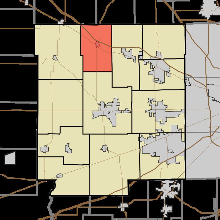
- Map of Union Township IN USA
- Geography
- Cities and towns
- Unincorporated towns
- Adjacent townships
- Cemeteries
- Major highways
- References
Map of Union Township, IN, USA
Geography
Union Township covers an area of 24.05 square miles (62.3 km2); of this, 0.01 square miles (0.026 km2) or 0.05 percent is water.
Cities and towns
Unincorporated towns
(This list is based on USGS data and may include former settlements.)
Adjacent townships
Cemeteries
The township contains nine cemeteries: Burgess, Cundiff, Groover, Leach Number 1, Leach Number 2, Lizton K of P, Montgomery, Pritchett and Vieley.
Major highways
References
Union Township, Hendricks County, Indiana Wikipedia(Text) CC BY-SA