
Country United States Elevation 280 m Local time Tuesday 11:53 AM | GNIS feature ID 0453274 Area 110.2 km² Population 1,662 (2010) | |
 | ||
Weather 11°C, Wind W at 29 km/h, 73% Humidity | ||
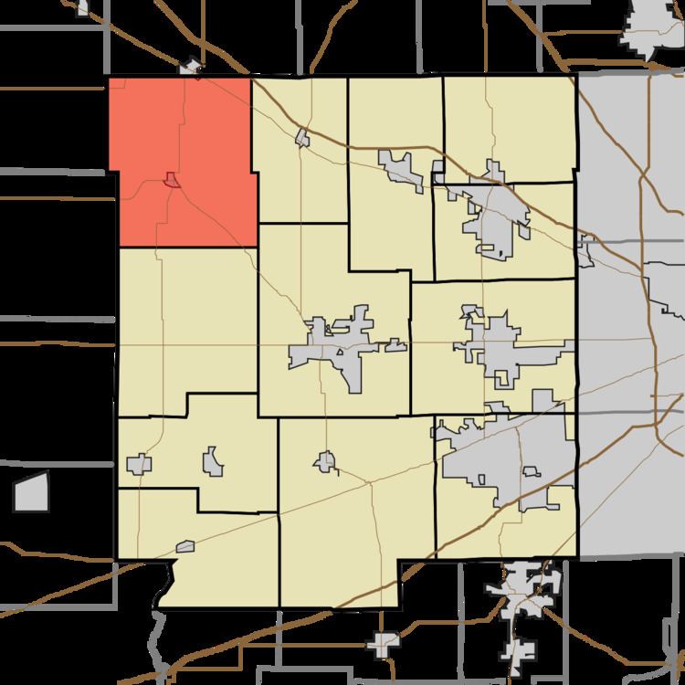
Eel River Township is one of twelve townships in Hendricks County, Indiana, United States. As of the 2010 census, its population was 1,662.
Contents
- Map of Eel River Township IN USA
- History
- Geography
- Cities and towns
- Adjacent townships
- Cemeteries
- Major highways
- Airports and landing strips
- References
Map of Eel River Township, IN, USA
History
Eel River Township was organized in about 1828.
Geography
Eel River Township covers an area of 42.54 square miles (110.2 km2). The streams of East Fork Big Walnut Creek, Hunt Creek, Middle Fork Big Walnut Creek and Ramp Run run through this township.
Cities and towns
Adjacent townships
Cemeteries
The township contains sixteen cemeteries: Adams, Campbell, Devenport, Fairview, Fleece, Fullen, Gossett, Hypes, Kidd Farm, North Salem Baptist, Page, Pennington, Richardson, Roundtown, Trotter and Zimmerman.
Major highways
Airports and landing strips
References
Eel River Township, Hendricks County, Indiana Wikipedia(Text) CC BY-SA