
Country United States Area 80.56 km² Local time Tuesday 11:26 AM | GNIS feature ID 0453622 Elevation 287 m Population 6,170 (2010) | |
 | ||
Weather 10°C, Wind N at 14 km/h, 72% Humidity | ||
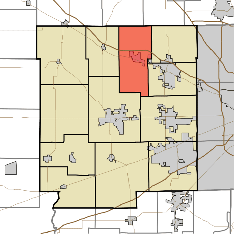
Middle Township is one of twelve townships in Hendricks County, Indiana, United States. As of the 2010 census, its population was 6,170.
Contents
- Map of Middle Township IN USA
- History
- Geography
- Cities and towns
- Unincorporated towns
- Adjacent townships
- Cemeteries
- Major highways
- References
Map of Middle Township, IN, USA
History
Middle Township was organized in 1833.
Geography
Middle Township covers an area of 31.11 square miles (80.6 km2); of this, 0.01 square miles (0.026 km2) or 0.04 percent is water.
Cities and towns
Unincorporated towns
(This list is based on USGS data and may include former settlements.)
Adjacent townships
Cemeteries
The township contains six cemeteries: Hughes, Long, Roberts, Saint Malachy West, Weaver and White Lick Baptist.
Major highways
References
Middle Township, Hendricks County, Indiana Wikipedia(Text) CC BY-SA