
Country United States GNIS feature ID 453432 Local time Friday 10:45 PM | FIPS code 18-36792 Elevation 285 m Population 2,731 (2010) | |
 | ||
Weather 7°C, Wind SW at 13 km/h, 97% Humidity Area 123.5 km² (123.5 km² Land / 8 ha Water) | ||
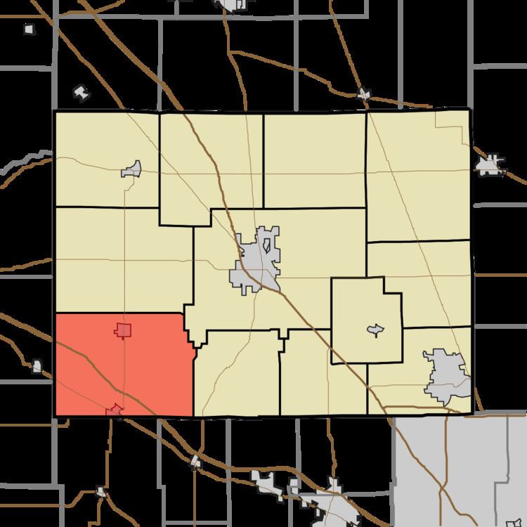
Jackson Township is one of twelve townships in Boone County, Indiana. As of the 2010 census, its population was 2,731 and it contained 1,089 housing units.
Contents
- Map of Jackson Township IN USA
- Geography
- Cities and towns
- Extinct towns
- Adjacent townships
- Major highways
- Cemeteries
- References
Map of Jackson Township, IN, USA
Geography
According to the 2010 census, the township has a total area of 47.7 square miles (124 km2), of which 47.68 square miles (123.5 km2) (or 99.96%) is land and 0.03 square miles (0.078 km2) (or 0.06%) is water.
Cities and towns
Extinct towns
Adjacent townships
Major highways
Cemeteries
The township contains five cemeteries: Brown, Independent Order of Odd Fellows, Lowry, Porter and Union.
References
Jackson Township, Boone County, Indiana Wikipedia(Text) CC BY-SA