
Country United States Elevation 264 m Local time Tuesday 10:31 AM | GNIS feature ID 0453181 Area 119.7 km² Population 12,167 (2010) | |
 | ||
Weather 11°C, Wind SW at 26 km/h, 86% Humidity | ||
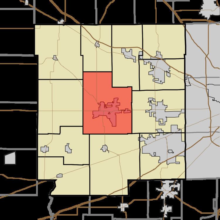
Center Township is one of twelve townships in Hendricks County, Indiana, United States. As of the 2010 census, its population was 12,167.
Contents
- Map of Center Township IN USA
- History
- Geography
- Cities and towns
- Unincorporated towns
- Adjacent townships
- Cemeteries
- Major highways
- Airports and landing strips
- References
Map of Center Township, IN, USA
History
Center Township was so named from its position near the geographical center of Hendricks County.
Geography
Center Township covers an area of 46.22 square miles (119.7 km2); of this, 0.11 square miles (0.28 km2) or 0.24 percent is water. The stream of Thompson Creek runs through this township.
Cities and towns
Unincorporated towns
(This list is based on USGS data and may include former settlements.)
Adjacent townships
Cemeteries
The township contains twenty-one cemeteries: Arnold, Arnold-Stuart, Ayears, Christie East, Christie West, Cofer, Danville East, Danville South, Gentry, Hardwick, Hillside, Hyten, Kiger, Mill Creek, Mount Pleasant, New Mill Creek (historical), Nichols, Noland Number 2, Primitive Baptist, Saint Augustine Memorial Gardens and Templin.