
Country United States GNIS feature ID 453379 Area 63.14 km² Population 704 (2010) | FIPS code 18-31648 Elevation 289 m Local time Friday 3:11 AM | |
 | ||
Weather 2°C, Wind SE at 11 km/h, 55% Humidity | ||
Harrison Township is one of twelve townships in Boone County, Indiana. As of the 2010 census, its population was 704 and it contained 288 housing units.
Contents
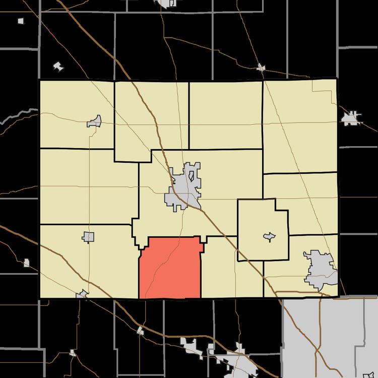
- Map of Harrison Township IN USA
- Geography
- Unincorporated towns
- Adjacent townships
- Major highways
- Cemeteries
- References
Map of Harrison Township, IN, USA
Geography
According to the 2010 census, the township has a total area of 24.38 square miles (63.1 km2), all land.
Unincorporated towns
Adjacent townships
Major highways
Cemeteries
The township contains two cemeteries: Mount Union and Poplar Grove.
References
Harrison Township, Boone County, Indiana Wikipedia(Text) CC BY-SA