
Area 54,491 km2 | ||
 | ||
Country Peoples Republic of China | ||
Map of Ulanqab
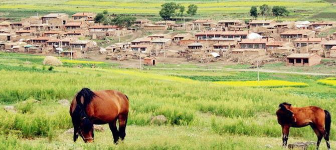
Ulanqab or Wūlánchábù (Mongolian: ᠤᠯᠠᠭᠠᠨᠴᠠᠪ ᠬᠣᠲᠠ Ulaɣančab qota; Улаанцав хот, Uláncaw hot; Chinese: 乌兰察布) is a region administered as a prefecture-level city in south-central Inner Mongolia, People's Republic of China. Its administrative centre is in Jining District, which was formerly a county-level city. It was established as a prefecture-level city on 1 December 2003, formed from the former Ulanqab League.
Contents
- Map of Ulanqab
- Administrative subdivisions
- Geography and climate
- Demographics
- Transport
- Known people from Ulanqab
- References
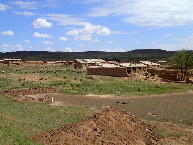
Ulaan Chab city has an area of 54,491 square kilometres (21,039 sq mi). It borders Hohhot to the west, Mongolia to the north, Xilin Gol League to the northeast, Hebei to the east and Shanxi to the south. At the end of 2004, Ulanqab had 2.7 million inhabitants.
The western part of Ulaan Chab used to be part of the now defunct Chinese province of Suiyuan.
Administrative subdivisions
Ulaan Chab has eleven administrative divisions: one district, one county-level city, five counties and four banners:
Geography and climate
Ulanqab features a cold semi-arid climate (Köppen BSk), marked by long, cold and very dry winters, warm, somewhat humid summers, and strong winds, especially in spring. More than half of the annual precipitation of around 360 millimetres (14.2 in) falls in July and August alone.
Demographics
In the 2000 census, there were 2,284,414 inhabitants:
Transport
Ulanqab's transportation network is well-developed, connected by several railways and highways. Some of the railways the pass through the prefecture are the Beijing−Baotou, Jining−Erlianhot, and the Jining−Tongliao Railways. Major inter-provincial roads include the G6 Beijing–Lhasa Expressway (京藏高速), China National Highway 110 (Beijing to Yinchuan, Ningxia) and 208 (Erlianhot, Inner Mongolia to Changzhi, Shanxi).