
 | ||
- elevation 700 m (2,297 ft) (approx.) - elevation 570 m (1,870 ft) (approx.) | ||
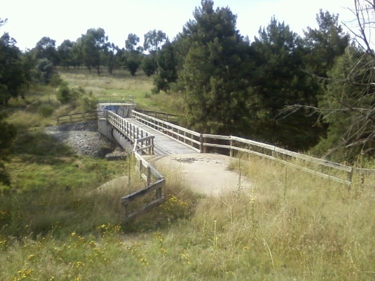
Tuggeranong Creek, a partly perennial stream of the Murrumbidgee catchment within the Murray-Darling basin, is located in the Tuggeranong district of Canberra, within the Australian Capital Territory, Australia.
Contents
Map of Tuggeranong Creek, Australian Capital Territory, Australia
Tuggeranong is derived from the Aboriginal word, meaning "cold plain". The traditional custodians of the land surrounding Tuggeranong Creek are the Aboriginal people of the Ngunnawal tribe.
Course
Tuggeranong Creek rises below Tuggerangong Hill, east of the suburb of Theodore and the Monaro Highway, formed through rural runoff within Monks Pond. The creek flows generally west and north-west, through Theodore, past the playing fields located in Calwell, through Richardson where it passes close to Tuggeranong Homestead, and through Isabella Plains, gathering urban stormwater drainage. Tuggeranong Creek is impounded at Bonython to form Isabella Pond, which is also impounded to form Lake Tuggeranong, a 57.1 hectares (141 acres) man-made artificial lake.
The creek is dammed at Tuggeranong Town Centre along Athlon Drive. Although there is no clear channel, Tuggeranong Creek flows south-west to form confluence with the Murrumbidgee River, south of Greenway.