
Population 1,454 (2011 census) Postcode(s) 2900 Founded 1988 Postal code 2900 | Established 1988 Area 5.3 km² Gazetted 17 October 1986 | |
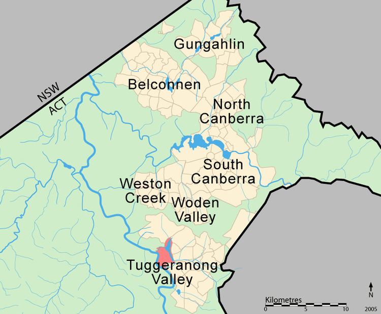 | ||
Greenway is a suburb in the Canberra, Australia district of Tuggeranong. The postcode is 2900. The suburb is named after the architect, Francis Greenway (1777–1837). It was gazetted on 17 October 1986. The streets are named after architects. It includes the Tuggeranong Town Centre, Lake Tuggeranong and small residential areas on the northwestern and northeastern shores of the lake.
Contents
Map of Greenway ACT 2900, Australia
It is next to the suburbs of Kambah, Wanniassa, Oxley, Monash and Bonython. It is bounded by Athllon Drive and Drakeford Drive. Behind the suburb is the Urambi Hills Nature Reserve and the Murrumbidgee River.
Geology
Greenway is built on top of Laidlaw Volcanics as is the west side of Tuggeranong. Rhyodacitic ignimbrite is in the form of grey rhyodacitic and dacitic crystal tuff of upper Silurian age. This kind of rock was formed from massive explosive volcanic eruptions that blasted a vast cloud of hot dust into the air. The explosion would have dwarfed the recent Mount St Helens eruption.