
Topo map USGS Mount Stimson, MT Prominence 55 m Parent peak Norris Mountain | Elevation 2,444 m | |
 | ||
Listing Mountains in Flathead CountyMountains in Glacier County Similar Mount Cleveland, Mount Stimson, Mount Siyeh, Rising Wolf Mountain, Snow Dome | ||
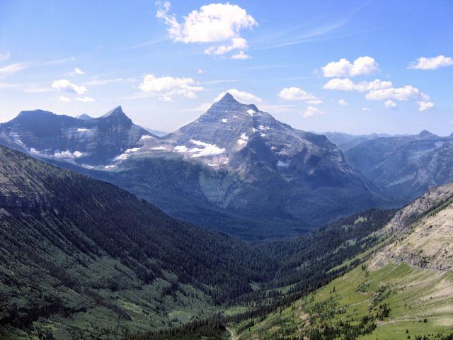
Triple Divide Peak (8,020 feet (2,444 m)) is located in the Lewis Range, part of the Rocky Mountains in North America. It is located in Glacier National Park in the state of Montana in the United States. The Lewis Range was formed in the Lewis Overthrust, some 170 million years ago, when an enormous slab of Precambrian rock faulted and slid over younger rocks from the Cretaceous period. The summit of the peak is the point where two of the principal continental divides in North America converge, the Great Divide and the Northern or Laurentian Divide.
Contents
Map of Triple Divide Peak, Montana 59434, USA
GeographyEdit
Triple Divide Peak is located in Glacier National Park in the state of Montana in the United States. It is a hydrological apex of the North American continent, where the Great and Laurentian divides meet at the summit of the peak. Thus, all water that falls at this point can flow to the Pacific, Atlantic, or Arctic oceans (when Hudson Bay is considered an Arctic tributary).
Rainfall on the western side of the peak enters Pacific Creek, which in turn enters Nyack Creek, the Middle Fork of the Flathead River, Clark Fork River, Pend Oreille River, and the Columbia River which empties into the Pacific Ocean at Astoria, Oregon. Flathead Lake and Lake Pend Oreille are also fed by this system of rivers, as well as some man-made lakes on the Columbia River.
The northeastern slope of the mountain sheds water into Hudson Bay Creek, which then drains into Medicine Owl Creek and Red Eagle Creek. It then empties into Saint Mary Lake, which feeds the St. Mary River, which in turn flows into the Oldman River, Saskatchewan River, and the Nelson River, which empties into Hudson Bay. (Some sources, however, consider Hudson Bay to be part of the Atlantic and, thus, Snow Dome – partially in Jasper National Park, on the border of the provinces of Alberta and British Columbia, Canada – to be the continent's sole hydrological apex.) Lake Manitoba and Lake Winnipegosis, also in Manitoba, are part of the Hudson Bay watershed as well, feeding Lake Winnipeg via Dauphin River.
Moisture on the southeastern slopes feeds into Atlantic Creek, which in turn enters the North Fork of Cut Bank Creek, Marias River, Missouri River, which joins the Mississippi River north of St. Louis, Missouri, before emptying into the Gulf of Mexico near New Orleans. This ultimately reaches the Atlantic.