
Elevation 1,242 m | Topo map USGS Maple Springs Mountain range Blue Ridge Mountains | |
 | ||
Similar Snake Mountain, Three Top Mountain, Howard Knob, Rich Mountain, Moore's Knob | ||
Tomkins knob extended cut
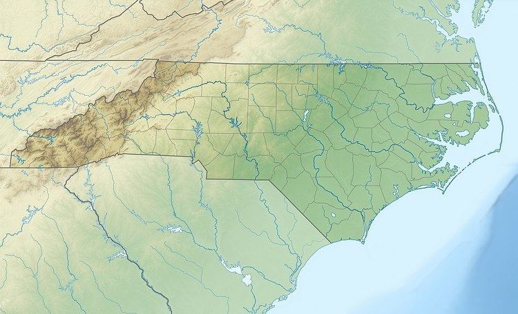
Tomkins Mountain (variant names: Thomkins Knob, Thompkins Knob and Tompkins Knob) is a mountain in the North Carolina High Country, near the community of Deep Gap. The majority of the mountain is within the Blue Ridge Parkway. Its elevation reaches 4,075 feet (1,242 m) and it also marks the corner between Ashe, Watauga, and Wilkes counties.
Contents
Map of Tomkins Knob, Pine Swamp, NC 28626, USA
Split along the Eastern Continental Divide, it generates feeder streams to both the South Fork New River (via West Fork Pine Swamp Creek) and Yadkin River (via South Prong Lewis Fork). Laurel Spur Ridge juts out south from the mountain; while Husons Ridge goes northwest, marking the Ashe/Watauga county line.
References
Tomkins Knob Wikipedia(Text) CC BY-SA