
Mouth New River | - elevation 3,543 ft (1,080 m) - elevation 3,271 ft (997 m) - elevation 3,104 ft (946 m) | |
 | ||
Sources South Fork New River, East Fork River, Middle Fork River | ||
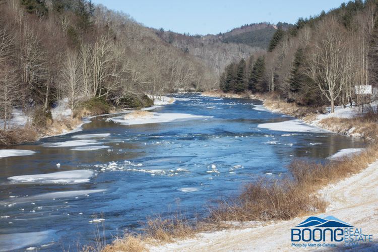
The South Fork New River is a river in the U.S. state of North Carolina.
Map of South Fork New River, North Carolina, USA
It stretches from its headwaters at a spring near Blowing Rock and the Eastern Continental Divide and meanders northward along the northwestern face of the Blue Ridge Mountains through the eastern and central portions of Watauga County and then Ashe County in northwestern North Carolina, passing through the town of Boone. It joins the North Fork New River in Ashe County to form the New River. Its waters ultimately reach the Gulf of Mexico through the Kanawha River, the Ohio River, and the Mississippi River. Its tributaries include Winkler's Creek, Boone (Kraut) Creek and Payne Branch.
References
South Fork New River Wikipedia(Text) CC BY-SA