
Founded 1849 Area 809.5 km² | Website www.wataugacounty.org Population 52,372 (2013) Unemployment rate 4.4% (Apr 2015) | |
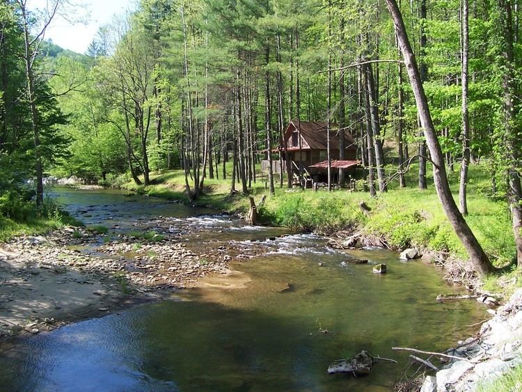 | ||
Points of interest Tweetsie Railroad, Flat Top Manor, Moses H Cone Memorial, Howard Knob, Hickory Ridge Homestead | ||
Watauga /wɑːˈtɑːwɡɑː/ County is a county located in the U.S. state of North Carolina. As of the 2010 census, the population was 51,079. Its county seat and largest town is Boone.
Contents
- Map of Watauga County NC USA
- History
- Geography
- Climate
- National protected areas
- Adjacent counties
- Demographics
- Law and government
- Economy
- K 8 schools
- High school
- Colleges and universities
- Transportation
- Major highways
- Towns
- Notable people
- References
Map of Watauga County, NC, USA
Watauga County comprises the Boone, NC Micropolitan Statistical Area.
History
The county was formed in 1849 from parts of Ashe, Caldwell, Wilkes, and Yancey counties. It was named for the Watauga River, whose name is said to be a Native American word, the meaning of which is in dispute among various histories with translations ranging from beautiful water, whispering waters, village of many springs, and river of islands, to name a few.
In 1861 part of Watauga County was combined with parts of Burke, Caldwell, McDowell, and Yancey counties to form Mitchell County. In 1911, the county was reduced to roughly its current size when portions of it were combined with parts of Caldwell and Mitchell counties were combined to form Avery County.
Geography
According to the U.S. Census Bureau, the county has a total area of 312.56 square miles (809.5 km2), of which 313 square miles (810 km2) is land and 0.9 square miles (2.3 km2) (0.3%) is water.
Watauga County is extremely mountainous, and all of the county's terrain is located within the Appalachian Mountains range. The highest point in the county is Calloway Peak, the highest peak of Grandfather Mountain (shared with the adjacent counties of Avery and Caldwell), which rises to 5,964 feet (1,818 meters) above sea level. At an elevation of 5,506 feet (1,678 meters) above sea level, Beech Mountain is the highest incorporated community east of the Mississippi River. Boone, the county's largest city and county seat, has the highest elevation (3,333 feet) of any city over 10,000 population in the Eastern United States.
Climate
As with most of North Carolina's High Country, the climate of Watauga County is that of a Humid continental climate characterized by considerably cooler and more drastic weather than other parts of the state. Dramatic and unexpected changes in the weather are not uncommon in the county, particularly when it comes to precipitation. This is partly due to the elevation of the county, and partly due to orographic lifting, which causes precipitation to fall more readily in Watauga County than in lowland areas to the east. Summers can be very warm with temperatures commonly in the 80s and on a rare occasion in the 90s. snow usually starts in November, and there can be snow falls in April, although this is not usual. Windy conditions, also, tend to be amplified across the county due to the rugged terrain and high elevation. Many people have noted that the winters of Watauga County tend to resemble those of the northern United States instead of the South.
Because of the cold weather in Watauga County, the area is home to several ski resorts. Among them is Appalachian Ski Mountain.
National protected areas
Adjacent counties
Demographics
As of the census of 2000, there were 42,695 people, 16,540 households, and 9,411 families residing in the county. The population density was 137 people per square mile (53/km²). There were 23,155 housing units at an average density of 74 per square mile (29/km²). The racial makeup of the county was 96.45% White, 1.59% Black or African American, 0.25% Native American, 0.59% Asian, 0.04% Pacific Islander, 0.45% from other races, and 0.62% from two or more races. 1.46% of the population were Hispanics or Latinos of any race.
According to the 2000 Census the largest self-reported ancestry groups in Watauga County were: English (25.1%), German (22.5%) and Irish (13.3%). Most of those claiming Irish ancestry in Watauga county are actually of Scots-Irish/Ulster-Scots Protestant background and not Irish Catholics.
There were 16,540 households out of which 23.20% had children under the age of 18 living with them, 47.40% were married couples living together, 6.80% had a female householder with no husband present, and 43.10% were non-families. 28.60% of all households were made up of individuals and 8.00% had someone living alone who was 65 years of age or older. The average household size was 2.26 and the average family size was 2.80.
The age distribution is 16.30% under the age of 18, 27.80% from 18 to 24, 23.40% from 25 to 44, 21.50% from 45 to 64, and 11.00% who were 65 years of age or older. The median age was 30 years. The overall age distribution and median age are greatly affected by the presence of Appalachian State University in Boone. For every 100 females there are 99.30 males. For every 100 females age 18 and over, there were 98.20 males.
The median income for a household in the county was $32,611, and the median income for a family was $45,508. Males had a median income of $29,135 versus $22,006 for females. The per capita income for the county was $17,258. About 7.20% of families and 17.90% of the population were below the poverty line, including 11.50% of those under age 18 and 10.60% of those age 65 or over.
Law and government
Watauga County is a member of the regional High Country Council of Governments.
Economy
K-8 schools
High school
Colleges and universities
Transportation
No commercial airports or passenger train depots are nearby. AMTRAK serves High Point and Winston-Salem in the nearby Piedmont area, and Piedmont Authority for Regional Transportation (PART) bus provides connecting shuttle service to Watauga County. A helipad is in service at the Watauga Medical Center. A small general aviation airstrip (FAA Identifier: NC14) is located in Boone. Commercial airline passengers typically utilize the airports at Charlotte, Greensboro, and Raleigh-Durham in North Carolina, or Tri-Cities in Tennessee. There is a public transport system in Boone provided by Appalcart that services the downtown and some outlying areas, with special routes to rural areas and intercity transit routes to Wilkes, Winston-Salem, Greensboro, Lenoir, Hickory, Lincolnton, Gastonia and Charlotte for a small fee.