
Time zone UTC-3 (UTC−3) Area 292.3 km² Population 54,115 (2013) Team Estudantes Sport Club | Founded 1879 Postal code 55870 Elevation 102 m Metro population 55,213 | |
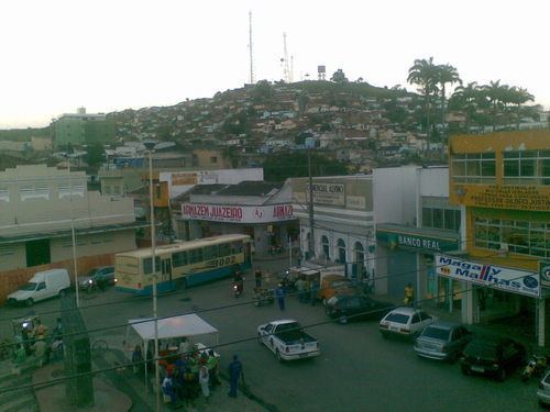 | ||
Timbaúba is a city in Pernambuco, Brazil. According to the Brazilian Institute of Geography and Statistics, it has an estimated population of 51.770 inhabitants as of 2009.
Contents
Map of Timba%C3%BAba - State of Pernambuco, Brazil
Geography
Economy
The main economic activities in Timbaúba are based in commerce and agribusiness, especially growing sugarcane and bananas, and raising livestock such as cattle, sheep and goats.
Economic indicators
Economy by sector 2006
Sports
The main sport in Timbaúba is football, which is represented by Timbaúba Futebol Clube, currently playing the Campeonato Pernambucano's Série A2.
References
Timbaúba Wikipedia(Text) CC BY-SA