
Area 38 km² | ||
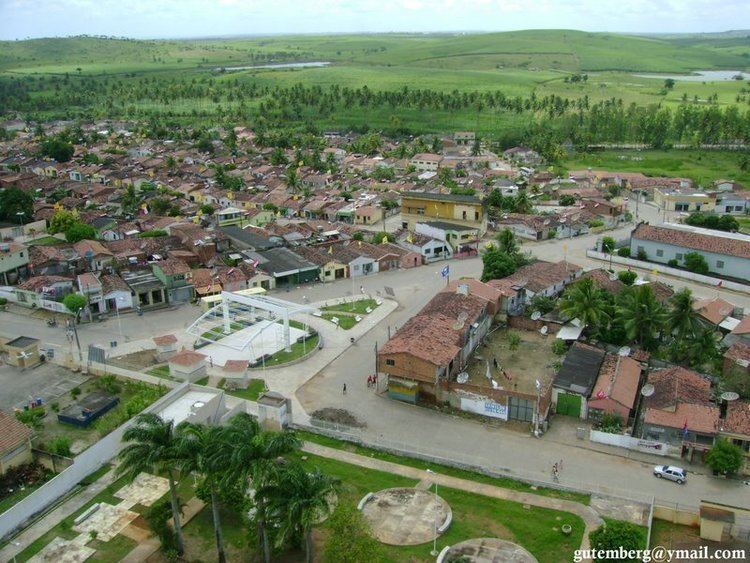 | ||
Camutanga is a city located in the state of Pernambuco, Brazil. Located at 120 km from Recife, capital of the state of Pernambuco. Has an estimated (Ibge 2009) population of 8.214 people and one of the strongest GDP per capita of Zona da mata Pernambucana.
Contents
Map of Camutanga - State of Pernambuco, Brazil
Geography
Economy
The main economic activities in Camutanga are based in food and beverage industry, commerce and agribusiness, especially sugarcane, bananas; and livestock such as cattle.
Economic indicators
Economy by Sector 2006
References
Camutanga Wikipedia(Text) CC BY-SA