Suvarna Garge (Editor)

Ferreiros, Pernambuco

Updated on
Edit
Like
Comment
Share on FacebookTweet on TwitterShare on LinkedInShare on Reddit
Country
  
Brazil

Region
  
Zona da mata

Area
  
92.1 km²

State
  
Pernambuco

Elevation
  
96 m

Population
  
11,456 (2009)

Ferreiros, Pernambuco httpsiytimgcomvie1NGNPdbGfEmaxresdefaultjpg

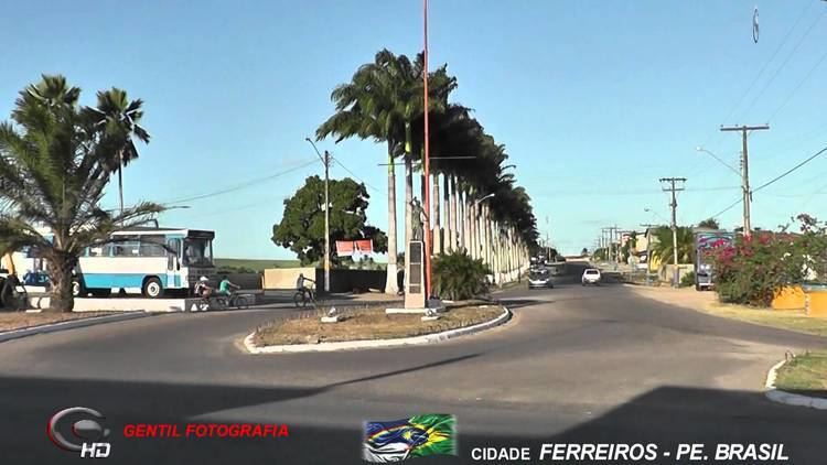
Ferreiros is a city located in the state of Pernambuco, Brazil, 118 km from Recife, capital of the state of Pernambuco, with an estimated (Ibge 2009) population of 11,456 inhabitants.

Contents

Map of Ferreiros - State of Pernambuco, Brazil

Geography

  • State - Pernambuco
  • Region - Zona da mata Pernambucana
  • Boundaries - Camutanga (N); Timbaúba and Aliança (S); Timbaúba (W); Itambé (E)
  • Area - 92.1 km2
  • Elevation - 96 m
  • Hydrography - Goiana River
  • Vegetation - Subcaducifólia forest
  • Climate - Hot tropical and humid
  • Annual average temperature - 25.2°C
  • Distance to Recife - 118 km
  • Economy

    The main economic activities in Ferreiros are based in footwear industry, commerce and agribusiness, especially sugarcane, bananas; and livestock such as cattle and poultry.

    Economic indicators

    Economy by Sector 2006

    References

    Ferreiros, Pernambuco Wikipedia