
 | ||
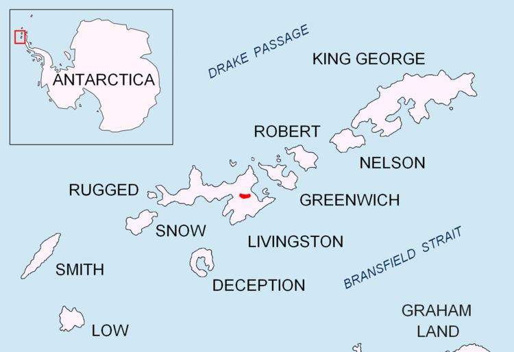
Ticha Peak (Vrah Ticha \'vr&h 'ti-cha) is a 790 m peak on the east side of Omurtag Pass in Bowles Ridge, Livingston Island in the South Shetland Islands, Antarctica. The peak is overlooking Perunika Glacier and Wörner Gap to the southwest, Huron Glacier to the southeast, and Kaliakra Glacier to the north.
Contents
Map of Ticha Peak, Antarctica
The feature is named after Ticha River in Northeastern Bulgaria.
Location
The peak is located at 62°36′58″S 60°11′07″W, which is 880 m east of the summit Mount Bowles, 5.35 km south of Leslie Hill, 2.29 km southwest of Melnik Peak, 400 m west of Petrich Peak, 1.65 km west of Asparuh Peak and 2.52 km northwest of Kuzman Knoll (Bulgarian topographic survey Tangra 2004/05, and mapping in 2005 and 2009).
Maps
References
Ticha Peak Wikipedia(Text) CC BY-SA