
 | ||
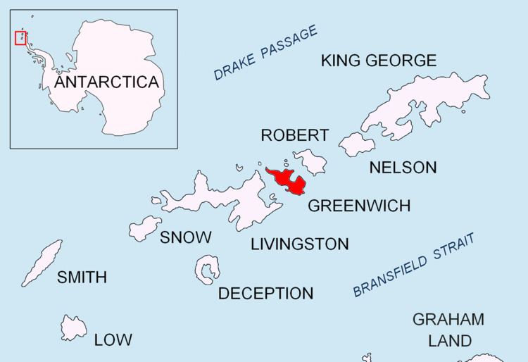
Telerig Nunatak (Nunatak Telerig \'nu-na-tak te-le-'rig) is a rocky peak of elevation 170 m projecting from the ice cap of Greenwich Island in the South Shetland Islands, Antarctica in the southwest extremity of Dryanovo Heights.
Contents
Map of Telerig Nunatak, Antarctica
The feature is named after the Bulgarian ruler Khan Telerig, 768-777 AD.
Location
The nunatak is located at 62°29′35″S 59°55′33″W which is 2.07 km northwest of Yovkov Point, 1.9 km west-southwest of Lloyd Hill, 1.67 km south-southeast of Panagyurishte Nunatak and 1.6 km east-southeast of Kerseblept Nunatak (Bulgarian topographic survey Tangra 2004/05 and mapping in 2009).
Maps
References
Telerig Nunatak Wikipedia(Text) CC BY-SA