Country United States Elevation 202 m Local time Monday 12:53 PM | GNIS feature ID 0453889 Area 109.7 km² Population 1,200 (2010) | |
 | ||
Weather 15°C, Wind SE at 13 km/h, 74% Humidity | ||
Taylor Township is one of fifteen townships in Greene County, Indiana, USA. At the 2010 census, its population was 1,200.
Contents
- Map of Taylor Township IN USA
- History
- Geography
- Unincorporated towns
- Adjacent townships
- Cemeteries
- Major highways
- References
Map of Taylor Township, IN, USA
History
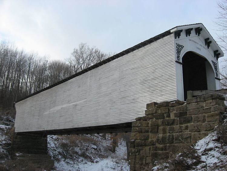
The Richland-Plummer Creek Covered Bridge and Scotland Hotel are listed on the National Register of Historic Places.
Geography
According to the 2010 census, the township has a total area of 42.36 square miles (109.7 km2), of which 42.27 square miles (109.5 km2) (or 99.79%) is land and 0.09 square miles (0.23 km2) (or 0.21%) is water. The streams of Black Ankle Creek, Bogard Creek, Burcham Branch, Clifty Branch, Dowden Branch, Flyblow Branch and Stone Branch run through this township.
Unincorporated towns
(This list is based on USGS data and may include former settlements.)
Adjacent townships
Cemeteries
The township contains four cemeteries: Dowden, Hasler, Smith-Bethel and Taylor Ridge.
Major highways
* Note: Interstate 69 currently ends here.
