
GNIS feature ID 0452422 Area 254.6 km² Population 5,093 (2010) | ZIP codes 47522, 47553, 47562 Elevation 197 m Local time Monday 9:15 AM | |
 | ||
Weather 8°C, Wind E at 5 km/h, 100% Humidity | ||
Perry Township is one of six townships in Martin County, Indiana, United States. As of the 2010 census, its population was 5,093 and it contained 2,255 housing units.
Contents
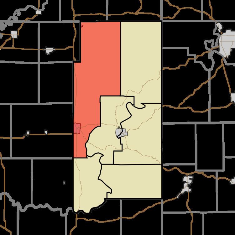
- Map of Perry Township IN USA
- Geography
- Cities towns villages
- Unincorporated towns
- Cemeteries
- Major highways
- Lakes
- Landmarks
- School districts
- Political districts
- References
Map of Perry Township, IN, USA
Geography
According to the 2010 census, the township has a total area of 98.3 square miles (255 km2), of which 96.49 square miles (249.9 km2) (or 98.16%) is land and 1.81 square miles (4.7 km2) (or 1.84%) is water.
Cities, towns, villages
Unincorporated towns
(This list is based on USGS data and may include former settlements.)
Cemeteries
The township contains these seventeen cemeteries: Blankenship, Boggs Creek, Brook, Carr, Goodwill, Henry, Holt, Houghton, Ledgerwood, Love, Saint Johns, Saint Joseph, Salem, Waggoner, West Union, Williams and Woods.
Major highways
Lakes
Landmarks
School districts
Political districts
References
Perry Township, Martin County, Indiana Wikipedia(Text) CC BY-SA