
Country United States Elevation 147 m Local time Saturday 11:31 PM | GNIS feature ID 0453997 Area 111.2 km² Population 1,186 (2010) | |
 | ||
Weather 12°C, Wind SE at 11 km/h, 49% Humidity | ||
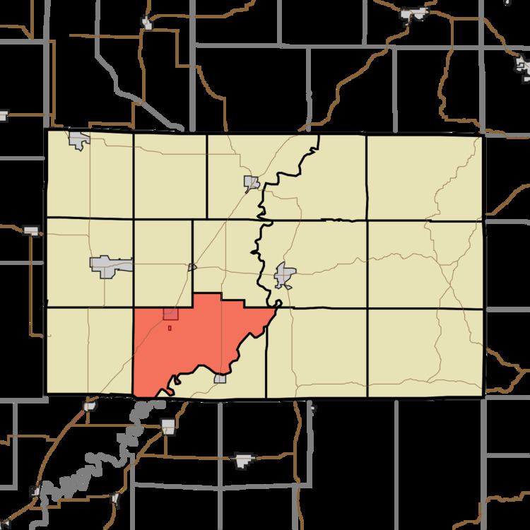
Washington Township is one of fifteen townships in Greene County, Indiana, USA. As of the 2010 census, its population was 1,186.
Contents
- Map of Washington Township IN USA
- Geography
- Cities and towns
- Unincorporated towns
- Adjacent townships
- Cemeteries
- Major highways
- References
Map of Washington Township, IN, USA
Geography
According to the 2010 census, the township has a total area of 42.95 square miles (111.2 km2), of which 42.53 square miles (110.2 km2) (or 99.02%) is land and 0.42 square miles (1.1 km2) (or 0.98%) is water. Lakes in this township include Long Pond. The stream of Fourmile Creek runs through this township.
Cities and towns
Unincorporated towns
(This list is based on USGS data and may include former settlements.)
Adjacent townships
Cemeteries
The township contains two cemeteries: Bogard and Mount Zion (Dog Island) and Marco.
Major highways
References
Washington Township, Greene County, Indiana Wikipedia(Text) CC BY-SA