
Country United States Elevation 152 m Local time Sunday 3:26 AM | GNIS feature ID 0453288 Area 67.83 km² Population 575 (2010) | |
 | ||
Weather -4°C, Wind N at 8 km/h, 51% Humidity | ||
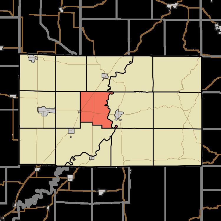
Fairplay Township is one of fifteen townships in Greene County, Indiana, USA. As of the 2010 census, its population was 575.
Contents
- Map of Fairplay Township IN USA
- Geography
- Cities and towns
- Unincorporated towns
- Adjacent townships
- Cemeteries
- Major highways
- Airports and landing strips
- Notable natives
- References
Map of Fairplay Township, IN, USA
Geography
According to the 2010 census, the township has a total area of 26.19 square miles (67.8 km2), of which 25.85 square miles (67.0 km2) (or 98.70%) is land and 0.33 square miles (0.85 km2) (or 1.26%) is water. The stream of Lattas Creek runs through this township.
Cities and towns
Unincorporated towns
(This list is based on USGS data and may include former settlements.)
Adjacent townships
Cemeteries
The township contains one cemetery, Castle Hill.
Major highways
Airports and landing strips
Notable natives
References
Fairplay Township, Greene County, Indiana Wikipedia(Text) CC BY-SA