
Country State | Language spoken District Chikkamagaluru | |
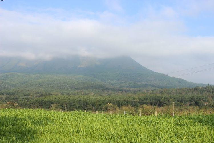 | ||
Map of Tarikere
Tarikere is a Taluk in the Chikkamagaluru district in the state of Karnataka of India. The headquarters of the Tarikere are a town of the same name. The town's name is derived from the number of water tanks which surround it (Kere is the word for a large water tank).
Contents
- Map of Tarikere
- Labrador dog training tarikere chikamagalur karnataka
- Amruteshwara temple tarikere
- Road
- Rail
- Air
- Geography
- Demographics
- Economy
- Nearby places
- Other information
- References
Labrador dog training tarikere chikamagalur karnataka
Amruteshwara temple tarikere
Road
National Highway NH-206 (Bengaluru to Honnavar) passes through Tarikere. From the district headquarters of Chikkamagaluru, Tarikere can be reached 2 different ways. It can be reached via Lingadahalli, or via Kadur & Birur.
Rail
Tarikere lies on the Birur to Talguppa railway line. There are also trains from Mysuru and Bengaluru which stop at Tarikere on the way to Shimoga.
Air
There are no airports in the near vicinity. People traveling via airplane have to make use of the Mangaluru, Hubballi, or Bengaluru airports and choose an alternate means of transport to reach Tarikere.
Geography
Tarikere is located at 13.72°N 75.82°E / 13.72; 75.82. It has an average elevation of 698 metres (2290 feet).
Tarikere borders 3 Taluk's in it's own district. There is Narasimharajapura to the west, Chikkamagaluru to the south-west, and Kadur to the south. Shimoga and Bhadravathi border Tarikere to the North and are in the Shimoga District. Hosadurga borders Tarikere to the East and is in the Chitradurga District. The following are the Hobli Headquarters within Tarikere Taluk:
- Ajjampura
- Amruthapura
- Lakkavalli
- Lingadahalli
- Shivani
- Kasaba
Demographics
As of 2001 India census, Tarikere had a population of about 35,000. Males constitute 51% of the population and females constitute 49%. Tarikere has an average literacy rate of 68%, 8.5% higher than the national average of 59.5%: male literacy levels are at 73%, and female literacy levels are at 62%. In Tarikere, 11% of the population is under 6 years of age.
Economy
Agriculture is the primary occupation in Tarikere. Betel nuts, Paddy, Ragi, Areca nuts, Coffee, Coconuts, Bananas, Pan leaves, Mangoes, and Corn are the major types of crops grown in this region. The region used to be a major rice producing area though now predominantly grows areca nut. Vigyan Industries, a subsidiary of BEML, is present near Tarikere and is a major producer of steel castings.
Nearby places
Tarikere is surrounded by many tanks and ponds. The tanks near Tarikere include Chikkere, Doddakere, Dalavikere, Ramanayakanakere, and Kendarahalla. There are also several historical places surrounding Tarikere.
Other information
Tarikere is immortalised in the popular Kannada tongue-twister "Tarikere Kere Eri Mele Mooru Kari Kuri Mari Meyuthittu". This was also the title for a song in the film Devara Duddu and was sung by the famous singer, S P Balasubramanyam.
Every year, on the eve of Makara Sankranthi, the procession of Lord Revannasiddeshwara is carried out. Another yearly event is the procession of Lord Subramanya (Car Festival) which occurs during December–January.