
Country Language spoken | State District Chikkamagaluru Literacy 80 %% Population 15,000 | |
Lingadahalli is a village in Tarikere Taluk, Chikkamagaluru district, Karnataka, India. Lingadahalli is one of the prominent pre-historic sites in Karnataka state.
Contents
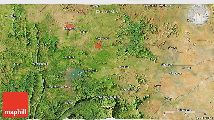
Map of Lingadahalli
Demographics
Lingayatism is the major religion in the area. There are many different religions practiced in this village, so the village is known for religious tolerance and understanding.
The name Lingadahalli comes from the Lingayat community, the largest part of the population of the community. The VeeraShiva legend is a part of this areas culture, although Brahmins and the Koushika Sankethi group comprise a large part of the community. Sankethi is the major tribe amongst Brahmins. Virabadreshvara Temple and Ramamandira temple of lord Rama are at the heart of the town.
Geography
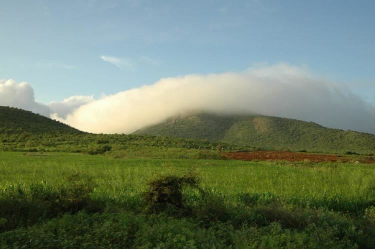
The village is a hobli and scenic hills of Kemmanagundi and Kallahathigiri Falls (where the Lord VeeraBhadreshvara resides) are around 10 km from the village. Lingadahalli is a roadmap to karnataka tourism, nearby places are Sanna Hebbe falls and Dodda Hebbe falls,Shanthi falls,Amruthapura temple,Lakkavalli Bhadra Dam,Sri Dattatreya peeta (baba budan giri),Mullayyanagiri and Bhadra reserve forest.The whole area covered by many hills and coffee estates. Linagadahalli also famous for people like, Late Sri veda brahma Narasimha murthy a pandith in vedas, winner of the Veda Ratna award.
Agriculture is the main industry in this area and common perennial crops grown are Areca nut, coconut and banana. The main annual crops grown are beans, green peas, potatoes, and chillies.