
Governing body U.S. Forest Service Phone +1 256-362-2909 | Area 1,589 km² Established July 17, 1936 | |
 | ||
Management United States Forest Service | ||
Alabama bigfoot in talladega national forest
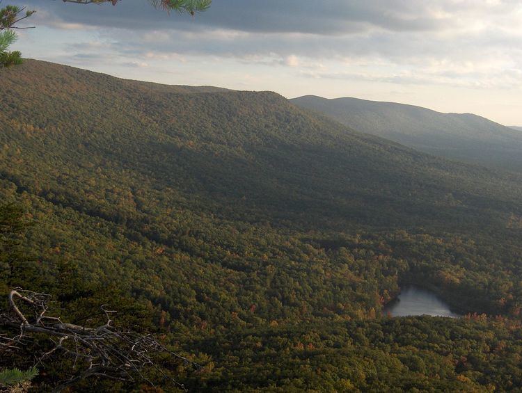
The Talladega National Forest is located in the U.S. state of Alabama and covers 392,567 acres (613.39 sq mi, or 1,588.66 km2) at the southern edge of the Appalachian Mountains.
Contents
- Alabama bigfoot in talladega national forest
- Backpacking talladega national forest cheaha part 1
- References
Before it was bought by the federal government in the 1930s, the area that comprises the Talladega was extensively logged and represented some of the most abused, eroded wastelands in all of Alabama. Pine forest regrowth now hosts a diverse eco-system.
The tiny 7,400 acre (30 km2) Cheaha Wilderness preserves a portion of this natural wealth on Talladega Mountain. The forest's second wilderness area, the Dugger Mountain Wilderness protects the area around Alabama's second-highest mountain peak.
Animals that inhabit the forest include black bear, white-tailed deer, bobwhite quail, gray and fox squirrel, turkey, rabbit, raccoon, and various waterfowl. The four forests are home to a number of threatened, endangered and sensitive species including the gopher tortoise, flattened musk turtle and the red-cockaded woodpecker.
This forest is headquartered in Montgomery, as are all four of Alabama's National Forests. The other National Forests in the state are Conecuh, Tuskegee, and William B. Bankhead. The Talladega National Forest is physically separated into two areas, and divided into three Ranger Districts:
The forest covers parts of eleven counties in Alabama. In descending order of forest land area they are Cleburne, Clay, Bibb, Talladega, Perry, Hale, Calhoun, Chilton, Tuscaloosa, Cherokee, and Dallas counties. [1]