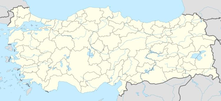
Elevation 97 m Local time Friday 5:55 AM | Post code 09470 Area 215 km² | |
 | ||
Weather 12°C, Wind NE at 6 km/h, 77% Humidity | ||
Sultanhisar is a town and a small district of Aydın Province in the Aegean region of Turkey, 30 km east of the city of Aydın on the road to Denizli.
Contents
- Map of Sultanhisar 09470 Sultanhisar2FAydC4B1n Province Turkey
- History
- Geography
- Towns in the district
- Places of interest
- References
Map of Sultanhisar, 09470 Sultanhisar%2FAyd%C4%B1n Province, Turkey
History
The first settlement here was the ancient city of Nysa, founded in the Hellenistic period and continuing to thrive under the Ancient Romans, when the geographer Strabo was educated here. Nysa is 3 km from the modern town of Sultanhisar, which was founded by the Seljuk Turks in 1270 and brought into the Ottoman Empire in 1425.
Geography
Sultanhisar is an agricultural district in the Büyük Menderes valley. The main products of the area are typical of the Aegean region: olives, figs, citrus fruits, grapes, strawberries etc. and the local industry is the processing of these products: olive oil pressing, spinning cotton, preparing and packing fruit, especially figs. Sultanhisar itself is a small town of 6,000 people on the İzmir-Afyon railway line. The local cuisine features typical Aegean dishes such as the bread-pancakes called gözleme. The town has a horticultural school of Adnan Menderes University.
