
Country United States GNIS feature ID 453683 Local time Thursday 2:36 AM | FIPS code 18-56142 Elevation 181 m Population 742 (2010) | |
 | ||
Weather 1°C, Wind E at 14 km/h, 54% Humidity Area 79.59 km² (77.96 km² Land / 161 ha Water) | ||
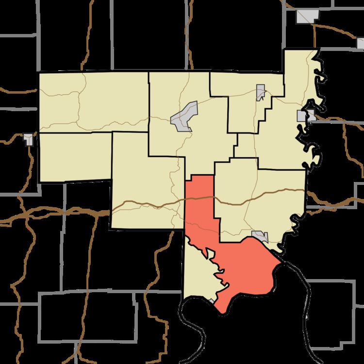
Ohio Township is one of nine townships in Crawford County, Indiana. As of the 2010 census, its population was 742 and it contained 354 housing units.
Contents
- Map of Ohio Township IN USA
- Geography
- Unincorporated towns
- Adjacent townships
- Major highways
- Cemeteries
- References
Map of Ohio Township, IN, USA
Geography
According to the 2010 census, the township has a total area of 30.73 square miles (79.6 km2), of which 30.1 square miles (78 km2) (or 97.95%) is land and 0.62 square miles (1.6 km2) (or 2.02%) is water.
Unincorporated towns
(This list is based on USGS data and may include former settlements.)
Adjacent townships
Major highways
Cemeteries
The township contains one cemetery, Wiseman.
References
Ohio Township, Crawford County, Indiana Wikipedia(Text) CC BY-SA