
Country United States GNIS feature ID 453506 Local time Friday 6:08 PM | FIPS code 18-38394 Elevation 228 m Population 1,436 (2010) | |
 | ||
Weather 5°C, Wind NW at 21 km/h, 30% Humidity Area 116.9 km² (116.3 km² Land / 52 ha Water) | ||
Jennings Township is one of nine townships in Crawford County, Indiana. As of the 2010 census, its population was 1,436 and it contained 676 housing units.
Contents
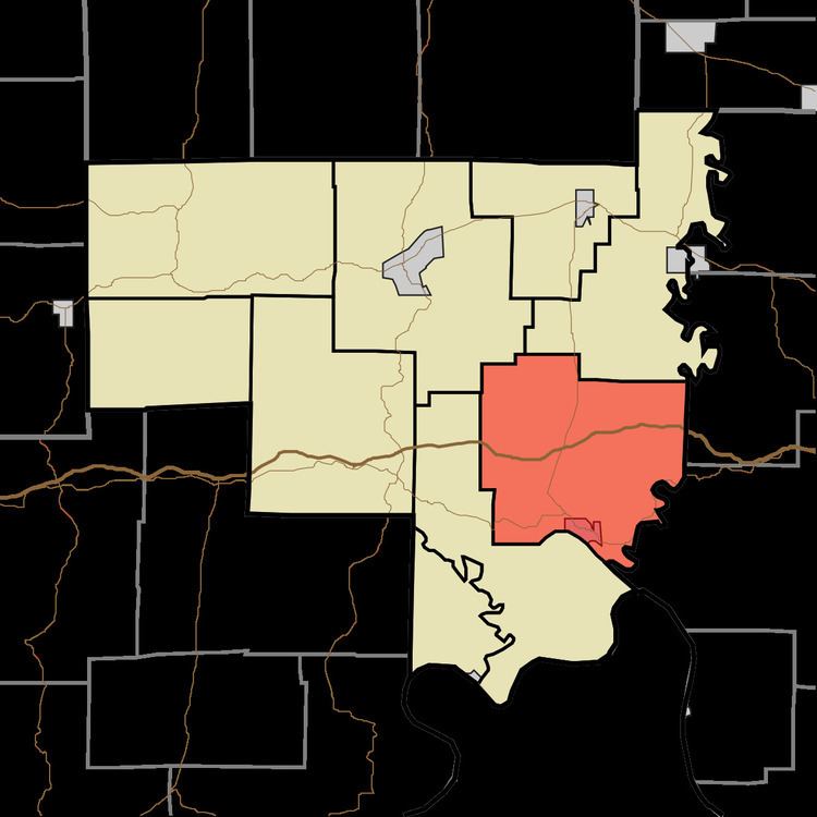
- Map of Jennings Township IN USA
- Geography
- Cities and towns
- Unincorporated towns
- Adjacent townships
- Major highways
- Cemeteries
- References
Map of Jennings Township, IN, USA
Geography
According to the 2010 census, the township has a total area of 45.12 square miles (116.9 km2), of which 44.92 square miles (116.3 km2) (or 99.56%) is land and 0.2 square miles (0.52 km2) (or 0.44%) is water. Spring Lake is in this township.
Cities and towns
Unincorporated towns
(This list is based on USGS data and may include former settlements.)
Adjacent townships
Major highways
Cemeteries
The township contains three cemeteries: Everton, Leavenworth Memorial Garden and Old Leavenworth.
References
Jennings Township, Crawford County, Indiana Wikipedia(Text) CC BY-SA