
Country United States GNIS feature ID 454051 Area 99.74 km² Population 1,911 (2010) | FIPS code 18-83690 Elevation 244 m Local time Saturday 11:03 PM | |
 | ||
Weather 7°C, Wind E at 8 km/h, 73% Humidity | ||
Whiskey Run Township is one of nine townships in Crawford County, Indiana. As of the 2010 census, its population was 1,911 and it contained 881 housing units.
Contents
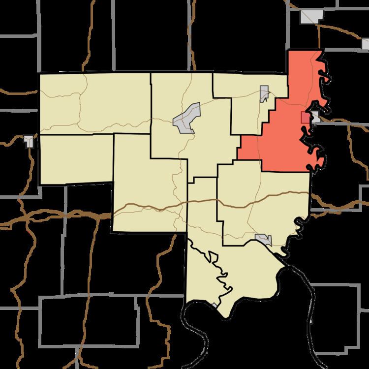
- Map of Whiskey Run Township IN USA
- Geography
- Cities and towns
- Unincorporated towns
- Adjacent townships
- Major highways
- Cemeteries
- References
Map of Whiskey Run Township, IN, USA
Geography
According to the 2010 census, the township has a total area of 38.51 square miles (99.7 km2), all land.
Cities and towns
Unincorporated towns
Adjacent townships
Major highways
Cemeteries
The township contains two cemeteries: Saint Josephs and Totten.
References
Whiskey Run Township, Crawford County, Indiana Wikipedia(Text) CC BY-SA