
Population 2,059 (in 2011) Unitary authority Dialling code 01666 Post town Malmesbury | OS grid reference ST9384 Sovereign state United Kingdom | |
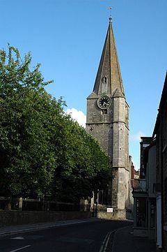 | ||
St Paul Malmesbury Without is a civil parish surrounding Malmesbury, Wiltshire, England. Its main settlements are the village of Corston and the hamlets of Milbourne and Rodbourne (not to be confused with the Rodbourne suburb of Swindon).
Contents
Map of Saint Paul Malmesbury Without, UK
Geography
The parish is rural with small settlements. It surrounds Malmesbury to the north, east and south (but not to the west where the parish is Brokenborough). To the south, the parish extends some 4 miles (6.4 km) from Malmesbury, almost to Stanton St Quintin, including parts of Hullavington Airfield and the adjacent Buckley Barracks.
The Bristol Avon forms part of the north and east boundaries of the parish. Its tributary the Gauze Brook crosses the parish.
History
Between the 7th and 11th centuries, the land which forms the modern parish was acquired by Malmesbury Abbey. By 1191 the parish church of the town was St Paul's, close to the abbey. After the creation of Malmesbury municipal borough in 1886, the remainder of the parish was renamed St Paul Malmesbury Without. Land from Westport, southwest of the town, was added in 1896.
Governance
The parish elects a parish council. It is in the area of Wiltshire Council unitary authority, which is responsible for all significant local government functions.