
- elevation 377 ft (115 m) Source West Dunley Farm Country United Kingdom | - elevation 190 ft (58 m) Mouth River Avon | |
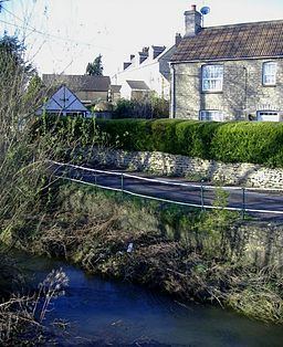 | ||
- location Little Somerford, Wiltshire, England | ||
The Gauze Brook is a stream in the West Country of England, which rises near the village of Littleton Drew in Wiltshire, England and flows in a north easterly direction for approximately 4 miles (6.4 km) before joining the Bristol Avon near the village of Little Somerford.
Contents
Map of Gauze Brook, United Kingdom
Course
Gauze Brook rises a little to the north east of the Wiltshire village of Littleton Drew and then flows to the north east through Dunley Wood before passing to the north of Hullavington. The stream then passes underneath the South Wales main railway line before it arrives at the village of Corston. Just over a mile later it joins the Bristol Avon by Angrove Farm, near Little Somerford.
References
Gauze Brook Wikipedia(Text) CC BY-SA