
Existed: c. 1934 – present Length 172.2 km | Constructed 1934 | |
 | ||
Counties | ||
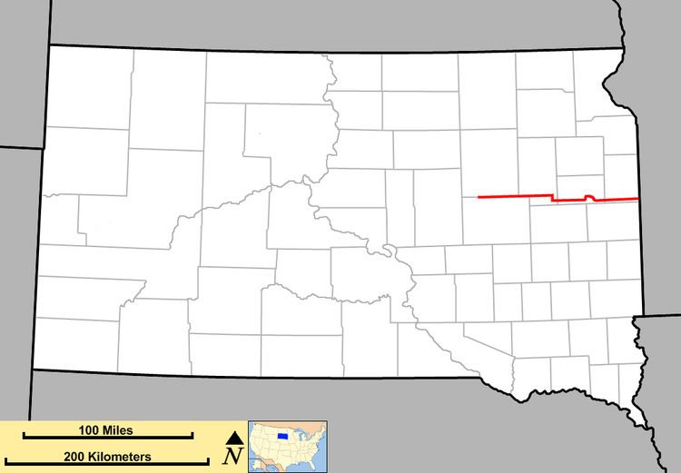
South Dakota Highway 28 (SD 28) is a state route located in east-central South Dakota. It begins at U.S. Highway 281 (US 281) west of Hitchcock, and runs easterly to the Minnesota border east of Astoria, becoming Minnesota State Highway 271. It is just under 107 miles (172 km) in length.
Contents
Map of SD-28, South Dakota, USA
Route description
SD 28 begins at intersection with US 281 in rural southern Spink County and heads east as a two-lane road through plains. About five miles (8.0 km) east of its western terminus, the route traverses the northern outskirts of Hitchcock. Approximately six miles (9.7 km) east of that town, the highway crosses the James River. SD 28 then continues easterly to an intersection with SD 37 and a crossing over Foster Creek. Roughly 10 miles (16 km) east of Foster Creek, the road leaves the Spink County and enters Clark County.
East of the county line, the route passes just south of the unincorporated community of Carpenter. Approximately 14 miles (23 km) east of Carpenter, the route passes south of Willow Lake and through the city of the same name. In the eastern portion of the city of Willow Lake, the highway crosses a branch of the BNSF Railway. About four miles (6.4 km) east of Willow Lake, the route meets SD 25 and turns south to join it for a three-mile-long (4.8 km) concurrency before forking off to the east. Roughly three miles (4.8 km) east of SD 25, the highway leaves Clark County and enters Hamlin County.
Just east of the Hamlin county line, SD 28 enters the city of Bryant and traverses it from west to east. East of Bryant, the highway heads east through rolling plains for about 12 miles (19 km) to the city of Lake Norden, where it intersects the southern terminus of SD 21. After exiting the city, the route curves to the southeast and then to the northeast to bypass a couple of lakes before meeting US 81. SD 28 turns north along US 81 for one mile before turning back to the east and crossing Lake Poinsett. The highway then curves in a southerly direction and crosses an unnamed creek, then bends to the east and continues for roughly five miles (8.0 km) before crossing the Big Sioux River and heading through the city of Estelline. Just east of Estelline, SD 28 crosses into Deuel County.
The highway comes to a diamond interchange with Interstate 29 (I-29) approximately six miles (9.7 km) east of the county line; east of this interchange, the route meets the southern terminus of SD 15 and traverses the town of Toronto. About eight miles (13 km) east of Toronto, the highway crosses another unnamed creek. This creek lies roughly one mile (1.6 km) west of the Minnesota state line, the eastern end of the SD 28 designation. SD 28 continues into Minnesota as Minnesota State Highway 271.
History
South Dakota 28 was first designated around 1934. It absorbed the old route of SD 26, and was extended eastward to US 77 near Estelline. Around 1950, the extension to the Minnesota border was completed. The westward extension to US 281 was made around 1954. SD 28 may have also eventually extended further west to SD 45, but the current terminus was in place by 1970.