
Country United States County Hamlin Time zone Central (CST) (UTC-6) Elevation 564 m Population 453 (2013) | Incorporated 1912 Area code(s) 605 Zip code 57221 Local time Saturday 8:33 PM | |
 | ||
Weather 4°C, Wind SE at 29 km/h, 80% Humidity | ||
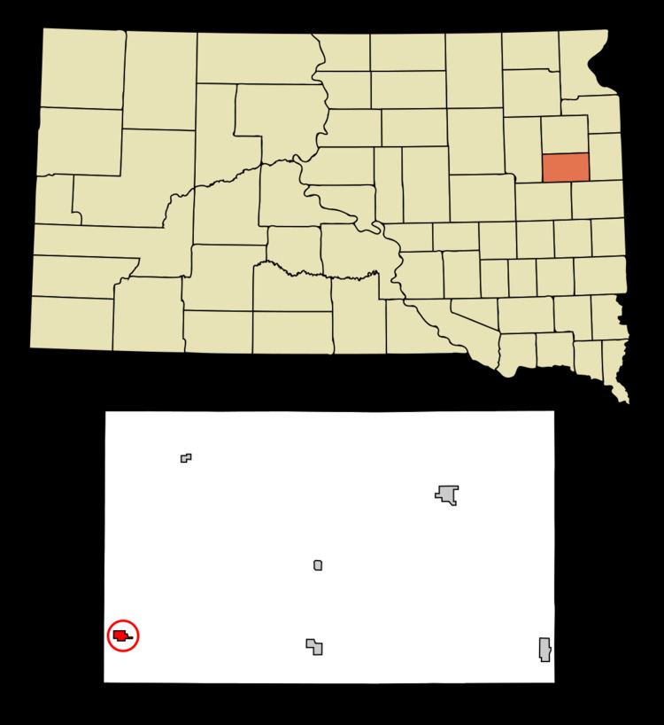
Bryant is a city in Hamlin County, South Dakota, United States. It is part of the Watertown, South Dakota Micropolitan Statistical Area. The population was 456 at the 2010 census.
Contents
Map of Bryant, SD 57221, USA
History
Bryant was laid out in 1887, and named for an agent of the town company.
Geography
Bryant is located at 44°35′24″N 97°27′59″W (44.589916, -97.466401).
According to the United States Census Bureau, the city has a total area of 0.52 square miles (1.35 km2), all of it land.
Bryant has been assigned the ZIP code 57221 and the FIPS place code 08060.
The city of Bryant was founded in 1886.
2010 census
As of the census of 2010, there were 456 people, 167 households, and 106 families residing in the city. The population density was 876.9 inhabitants per square mile (338.6/km2). There were 196 housing units at an average density of 376.9 per square mile (145.5/km2). The racial makeup of the city was 99.6% White and 0.4% from other races. Hispanic or Latino of any race were 0.4% of the population.
There were 167 households of which 29.3% had children under the age of 18 living with them, 52.7% were married couples living together, 7.2% had a female householder with no husband present, 3.6% had a male householder with no wife present, and 36.5% were non-families. 34.1% of all households were made up of individuals and 22.8% had someone living alone who was 65 years of age or older. The average household size was 2.51 and the average family size was 3.28.
The median age in the city was 34.7 years. 30% of residents were under the age of 18; 7.3% were between the ages of 18 and 24; 19.1% were from 25 to 44; 19.1% were from 45 to 64; and 24.6% were 65 years of age or older. The gender makeup of the city was 48.9% male and 51.1% female.
2000 census
As of the census of 2000, there were 396 people, 172 households, and 94 families residing in the city. The population density was 749.7 people per square mile (288.5/km²). There were 204 housing units at an average density of 386.2 per square mile (148.6/km²). The racial makeup of the city was 99.75% White, and 0.25% African American. 23.5% were of German, 21.3% Norwegian, 16.8% American, 12.8% Finnish, 7.9% Irish and 5.2% English ancestry according to Census 2000.
There were 172 households out of which 26.7% had children under the age of 18 living with them, 47.1% were married couples living together, 6.4% had a female householder with no husband present, and 44.8% were non-families. 41.3% of all households were made up of individuals and 27.3% had someone living alone who was 65 years of age or older. The average household size was 2.30 and the average family size was 3.24.
In the city, the population was spread out with 27.5% under the age of 18, 9.1% from 18 to 24, 21.7% from 25 to 44, 15.4% from 45 to 64, and 26.3% who were 65 years of age or older. The median age was 40 years. For every 100 females there were 91.3 males. For every 100 females age 18 and over, there were 88.8 males.
The median income for a household in the city was $21,719, and the median income for a family was $33,393. Males had a median income of $25,208 versus $21,250 for females. The per capita income for the city was $13,989. About 5.7% of families and 9.4% of the population were below the poverty line, including 8.8% of those under age 18 and 8.7% of those age 65 or over.