Samiksha Jaiswal (Editor)

South Beaches (Livingston Island)

Updated on
Edit
Like
Comment
Share on FacebookTweet on TwitterShare on LinkedInShare on Reddit
South Beaches (Livingston Island)

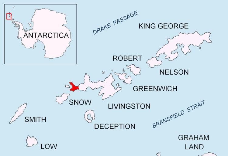
South Beaches are the beaches extending along the south side of Byers Peninsula, Livingston Island in the South Shetland Islands, Antarctica between Devils Point to the west and Rish Point to the east. The beaches were visited by 19th century sealers.

Contents

The feature was descriptively named, with the name 'South Beach' appearing on early mapping by Captain Robert Fildes and Captain George Powell in 1821 and 1822 respectively.

Location

The beaches are centred at 62°39′29.8″S 61°03′24.5″W (British mapping in 1968, detailed Spanish mapping in 1992, and Bulgarian mapping in 2005 and 2009).

Maps

  • Península Byers, Isla Livingston. Mapa topográfico a escala 1:25000. Madrid: Servicio Geográfico del Ejército, 1992.
  • L.L. Ivanov et al. Antarctica: Livingston Island and Greenwich Island, South Shetland Islands. Scale 1:100000 topographic map. Sofia: Antarctic Place-names Commission of Bulgaria, 2005.
  • L.L. Ivanov. Antarctica: Livingston Island and Greenwich, Robert, Snow and Smith Islands. Scale 1:120000 topographic map. Troyan: Manfred Wörner Foundation, 2009. ISBN 978-954-92032-6-4
  • References

    South Beaches (Livingston Island) Wikipedia


    Similar Topics